


Home menu » Discover » Give us a little time and clear your mind » Regional Wildlife Park of the Normandy Seine
Regional Wildlife Park of the Normandy Seine
Le Parc naturel régional des Boucles de la Seine Normande is crossed east to west by the Seine. It covers over 89,700 hectares, stretching 180 km from the outskirts of Rouen to those of Le Havre.
Six of its 77 municipalities are part of the Yvetot Normandie area: Allouville-Bellefosse, Auzebosc, Bois-Himont, Touffreville-la-Corbeline, Saint-Clair-sur-les-Monts and Yvetot itself.
Touffreville-la-Corbeline 
Allouville-Bellefosse 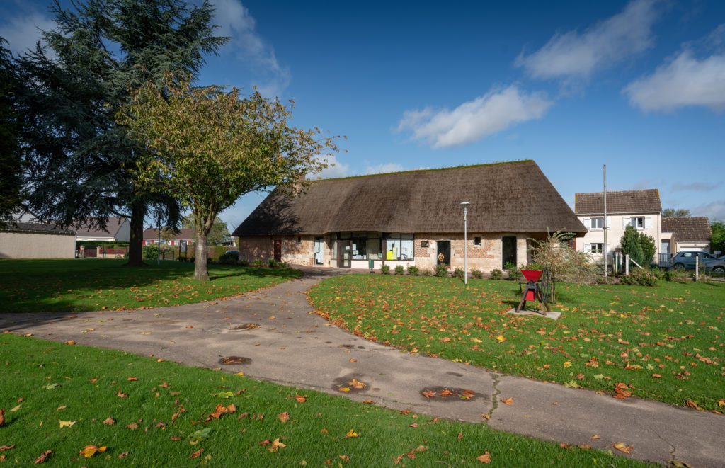
Auzebosc
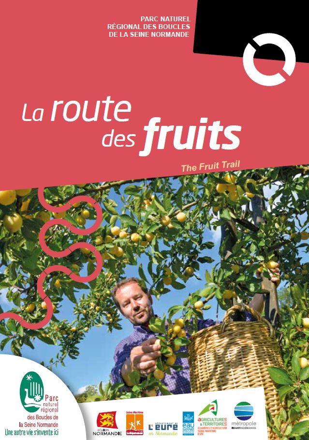
- La Route des Fruits, or Fruit Trail, where cherries, red fruits, plums, apples, pears are sold in season at the gates of houses.
- La Route des Chaumières, or Thatched Cottage Trail, with its characteristic landscape and buildings, consisting of the Marais Vernier, a vast wetland of 4,500 hectares situated between the Seine and the forest, and on a major bird migration route.
- Several belvederes enable you to admire the landscape and its various aspects of wilderness and history.
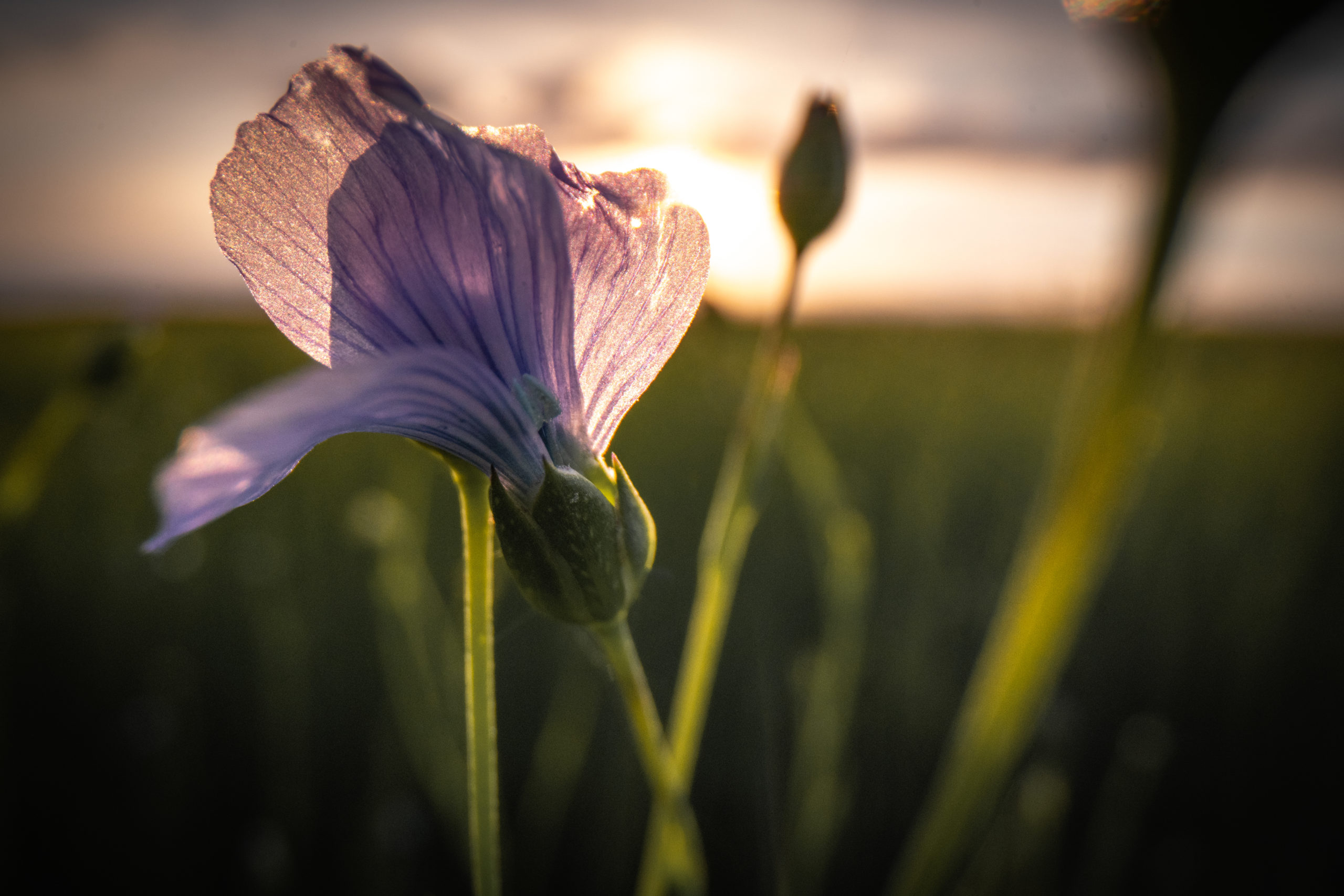
- 1,200 km of marked trekking trails taking in valleys, cliffs, hillsides, plateaux, forests and marshes. Wetlands that conceal the reserve’s most precious natural heritage.
La Maison du Parc, the welcome and information centre for the Regional Nature Park, is located in a former 16th-century farmhouse.
Maison du Parc
76940 Notre-Dame-de-Bliquetuit
Phone : 02 35 37 23 16